| Hike | Distance and ascent | Time | Level | Planning use |
|---|---|---|---|---|
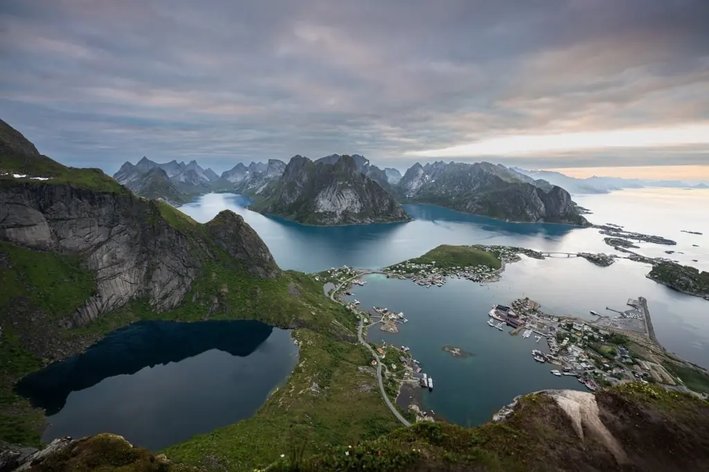
| Reinebringen | 2.8 km round trip; 410 m gain | 1.5–2 h | Short day hike | Fits a short weather window. Start only when the forecast is settled. |
| Mannen | 4.5 km round trip; 430 m gain | 3–3.5 h | Moderate; exposed in places | Allow a half day. Skip it in poor weather if exposure worries you. |
| Kvalvika Beach | Reached on multi-day guided tour routes | Varies by route | Remote beach destination | Build it into a larger itinerary or go with a guide rather than treating it as a quick add-on. |
| Munkebu hut | Hut above alpine lakes below granite walls | Varies by route | Mountain climb to a hut | Follow the painted arrows on the rocks, but carry a map as well. |
Distances, ascents and times for Reinebringen and Mannen come from an independent Lofoten day-hike guide, and the Kvalvika Beach and Munkebu hut descriptions from a guided-tour itinerary.
Lofoten islands hiking is best from July to September, when mountain routes are most likely to be snow-free. Choose by exposure and weather margin: short climbs suit a single clear window, while long crossings need alpine experience.
This guide sorts the main routes by skill level, then covers season, navigation and gear. For the wider picture across the country, see our overview of hiking in norway national parks.
What the figures mean for your plans
Short routes in Lofoten are not automatically easy ones. Reinebringen covers only 2.8 km round trip, yet it gains 410 m, so the effort is concentrated in a steep climb rather than spread over distance. Mannen is similar in height gain at 430 m, but it is rated moderately challenging because of exposure. A guided day built around Reinebringen is longer: Intrepid’s tour day covers approximately 11.6 km with 521 m of gain, so check which version of the route you are comparing before you plan your time.
Use these decisions as a starting point:
- Short on time or daylight: Reinebringen takes 1.5–2 h. It suits an unsettled forecast where you want to be down quickly, but it is only worth starting in a stable window.
- Comfortable with exposure and a half day free: Mannen takes 3–3.5 h. It is the better pick if you have done exposed walking before and want a more demanding outing than a quick summit.
- Wanting a remote beach: Kvalvika Beach appears on multi-day guided tour routes. Treat it as the centrepiece of a planned trip, and consider a guide if you do not navigate confidently.
- Wanting a mountain hut: Munkebu hut sits above alpine lakes, below granite walls. The climb to it is a day of its own, so do not stack another objective on top.
- Planning a long crossing: The Lofoten crossing is advised only for adept hikers with some alpine knowledge. Build experience on the shorter routes first.
Season, snow and daylight
July, August and September are, according to the 68 North hiking introduction, the best choice for snow-free mountain access. Outside that window the mountains behave differently. Spring can leave substantial snow above 400-500 m, and the amount varies from year to year. Any route that climbs past those heights early in the season should be treated as snow terrain, not as a summer walk.
The same source describes late April to mid June as a period of elevated rock and snow fall as the mountains begin to thaw. That makes spring a poor time for steep climbs beneath loose slopes, even when the weather looks fine from the valley. If you want lower, quieter walking in these months, keep to routes that stay well below the snowline. For how Lofoten fits with the rest of the country, see our guide to the best time to hike in Norway.
Lofoten lies over 180 km inside the Arctic Circle, so check daylight hours for your exact dates before you commit to a long route. Weather is the other constant. Quickly changing conditions make steep, slippery rock harder for less experienced hikers, so the practical answer is margin: start early, set a turn-back time, and choose the shorter option when cloud is dropping or rain is arriving.
Hikes by level
Short and moderate day hikes
Reinebringen is the natural first mountain for a visitor with limited time, since the route is brief and takes 1.5–2 h. Do not mistake brief for casual: the climb is steep, and wet rock makes it slower. Mannen asks more. Its 3–3.5 h round trip and exposed sections make it a step up, and it suits hikers who have already handled a steep path without difficulty.
Kvalvika Beach is the choice for hikers who value remoteness over a summit. Operators such as Backroads feature it with Nesland Village on guided routes, which is a useful signal that it works best as part of a planned itinerary rather than an improvised stop.
Munkebu hut and long crossings
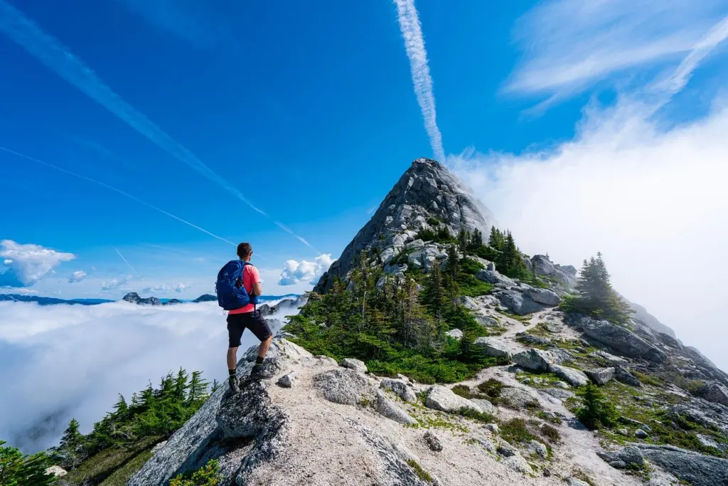
Munkebu hut is reached by a climb, and the setting is alpine lakes beneath granite walls. Bright orange paint arrows were added to the rocks in 2016, which helps with route-finding but does not replace a map. The long Lofoten crossing sits at the top of the difficulty range and is meant for adept hikers with alpine knowledge. Treat both as objectives to work towards, not as first routes.
Navigation and trail markers
Do not count on Red T trail markers or any other consistent waymarking. According to 68 North, most Lofoten trails are unmarked, and even finding the trailhead can be difficult. The orange arrows on the Munkebu route are the exception rather than the rule.
- Before you leave: Identify the trailhead and the line of the route on a map, because you may not see a sign.
- On the trail: Keep checking your position against terrain features, and turn back when you cannot confirm the path in poor visibility.
- On steep rock: Slow down on wet or slippery sections, since the local terrain is steep and the weather can change quickly.
Gear for changeable coastal weather
Intrepid asks guests to bring comfortable footwear suitable for hiking and wind- and waterproof layers. Those are the minimum, and Lofoten’s steep, slippery rock gives you reason to choose boots with a grippy sole over casual walking shoes. Layers matter because conditions can change quickly: a shell that blocks both wind and rain lets you adjust without cutting a hike short.
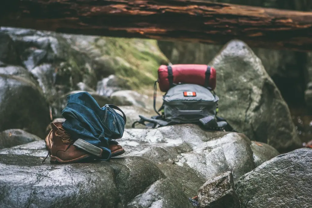
Pair clothing with navigation tools, because unmarked trails put the responsibility on you. A paper map and an offline map on your phone cover most situations. For the full kit list, including the items that matter in an emergency, use our 10 Essentials For Hiking: The 2026 Checklist To Hike Safer And Smarter.
Frequently asked questions
Is hiking in Lofoten safe without a guide?
It depends on the route and your experience. Quickly changing weather and steep, slippery rock create difficulties for less experienced hikers, and most trails are unmarked. Shorter routes suit hikers who can navigate and judge conditions. The long crossing is advised only for adept hikers with alpine knowledge, and a guide is sensible if you lack that background.
Does the right of public access let me walk anywhere?
No. Allemansretten, the right of public access, applies to uncultivated land, so cultivated areas fall outside it. Use it for access to open mountain and coastal terrain, and stay on obvious paths near farms and settlements.
Which Lofoten routes need the most experience?
The long Lofoten crossing needs the most, because it is advised only for adept hikers with alpine knowledge. Mannen asks for comfort with exposure. Reinebringen is short but steep, and the Munkebu climb needs map-reading as well as fitness.