They plan a trip and seek clear ideas for things to do in Sequoia National Park. This guide lists top activities, access tips, and simple route ideas. It highlights giant trees, easy hikes, short climbs, and scenic drives. It helps visitors pick experiences by time, fitness, and season. It keeps directions and timing short and practical, and adds safety, parking, and logistics notes so visitors can make the most of limited time in the park.
Key Takeaways
- Visiting the giant sequoias, including the General Sherman Tree and Congress Grove, is a must-do activity in Sequoia National Park offering awe-inspiring views and educational signage.
- The Congress Trail is an easy, family-friendly hike providing a close-up experience of famous sequoias with minimal elevation change and well-maintained paths.
- Climbing Moro Rock rewards visitors with panoramic views but requires good timing, appropriate footwear, and caution due to steep stairs and weather conditions.
- Driving Generals Highway connects major park attractions like Tunnel Log and offers scenic pullouts ideal for photos and short walks.
- Visitors should plan their activities based on time, fitness level, and season while preparing for limited cell service and variable weather to enjoy the park safely and comfortably.
- Early arrival helps avoid crowds and secures parking near popular spots like the Giant Forest Museum, enhancing the overall visit experience.
See The Giant Sequoias: General Sherman, Congress Grove, And Big Trees Trail
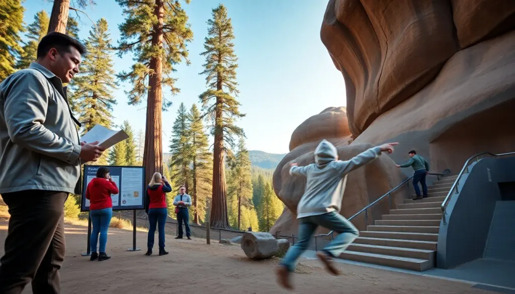
Visitors go to Sequoia National Park to see the giant sequoias. They start at the General Sherman Tree because it is the largest tree by volume and a focal point for most itineraries. The trail to General Sherman gives close views and multiple photo angles; accessible viewpoints and interpretive panels near the tree explain growth, fire ecology, and the trees’ role in the landscape. The Big Trees Trail is an easy, mostly level loop that runs through a mix of sequoias, mixed-conifer forest, and open meadows—good for a relaxed hour-long walk with interpretive stops.
They reach Congress Grove to view the historic cluster of large trees and named specimens; the grove provides a sense of the forest’s scale and continuity. Park rangers and information boards often point out the Fallen Monarch and other named trees along nearby routes. To enhance an oak-and-sequoia experience, visitors combine the museum, grove, and a short stroll on the Big Trees Trail into a half-day morning visit.
Practical notes: arrive early to avoid crowds and secure parking near the Giant Forest Museum, especially on summer weekends and holiday periods. Carry water, sun protection, layered clothing for rapid temperature changes, and a small pack for snacks and camera gear. The park enforces leave-no-trace rules and limits group size on some trails—follow posted guidelines and respect seasonal closures for restoration or nesting wildlife.
Hike Signature Trails
They choose hikes that match their time and fitness. The park posts trail distances and elevation gains at trailheads; many popular routes are well signed, but maps and a basic plan remain important. Short, accessible options include Congress Trail and the Big Trees Trail, while longer day hikes branch into high-country terrain and require full-day planning. Check current trail conditions and weather at the visitor center or park website before you start.
Packing basics for day hikes: water (at least 1–2 liters per person for short walks, more for longer hikes), layered clothing for sun and wind, sturdy shoes, snacks, sunscreen, a hat, and a paper map or offline route. A small first-aid kit, whistle, and headlamp are useful extras. Because elevations in the park can be high, allow time to acclimate if you arrive from low elevation and watch for signs of altitude effects during strenuous activity.
Trail etiquette and safety: stay on marked trails, give wide berth to wildlife, keep dogs on a leash where allowed, and store food properly at camp or in parking areas. For overnight or backcountry plans, obtain necessary permits and check regulations about campfires and bear-resistant storage. Winter hikers should plan for snow and icy sections and consider traction devices or other appropriate gear.
Congress Trail — An Easy Loop Among The Giants
They walk the Congress Trail for a short, accessible sequoia experience. The loop runs about 2 miles and stays mostly flat, making it an excellent option for families, older adults, and visitors wanting a concentrated sequoia visit without steep climbs. The route passes the President Tree, the President Camp, and several other named sequoias, with frequent interpretive signs that explain tree biology, cultural history, and recent wildfire effects.
Allow 60 to 90 minutes to walk slowly, read signs, and take photos; people who move steadily can finish faster while those who linger for images or rest may take longer. The trail surface is firm and well maintained, but occasional roots and rocks require attention. The Congress Trail connects to other paths for visitors who want a longer hike into the Giant Forest or toward Moro Rock—so use trail junctions and maps to expand the route safely.
Accessibility: much of the Congress Trail is stroller- and wheelchair-friendly near the main loop and major interpretive stops, but check specific access notes at the visitor center for the latest path conditions and accessible parking.
Moro Rock — Short, Steep Climb For Panoramic Views
They climb Moro Rock for a short view that rewards effort. The stair route covers about 350 steps and reaches an exposed granite dome with sweeping views of the Great Western Divide, the Middle Fork of the Kaweah River canyon, and surrounding sequoia forests. The climb is brief but steep; visitors often combine it with a stop at nearby viewpoints and a short walk back to the Giant Forest area.
Timing is important: start early in hot months to avoid midday heat and to get clearer air for distant views. The park closes Moro Rock in storms, high winds, or when icy conditions make the stairs unsafe. Wear sturdy shoes and use handrails on the stairs; take your time on the descent. Visitors with limited mobility can use nearby viewpoints on the road that offer partial vistas without the full stair climb. Park staff post safety notes and seasonal access details at the Moro Rock trailhead and visitor center.
Drive The Scenic Routes: Generals Highway, Tunnel Log, And Foothill Views
They drive Generals Highway to connect major park sites. The scenic road links Sequoia and Kings Canyon visitors’ areas and includes pullouts, overlooks, and trailheads. Plan for narrow lanes, winding sections, and occasional slow-moving vehicles. Stop at pullouts for short walks, photos, and wildlife spotting—early morning and late afternoon light are often best for photography.
Tunnel Log is an iconic short stop to see a fallen sequoia that once allowed cars to pass through its trunk. It is a quick, popular photo opportunity located on a roadside curve; expect other visitors and limited space for lingering. Along the highway, plan fuel and food expectations—services inside the park are limited and may be seasonal—so fill up and stock snacks before longer drives.
In winter, check road status for chain requirements or closures and allow extra travel time for snow or icy patches. Use cell coverage sparingly and carry a paper map for areas with limited signal. For a memorable afternoon, take a foothill drive timed for golden hour to capture sunset light on distant ridgelines and let a short pullout walk extend the experience. Slow driving and attentive parking will keep the experience safe and enjoyable for everyone on the road.