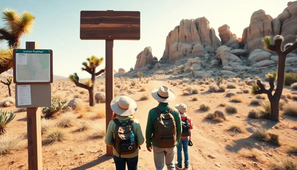
The best hikes in Joshua Tree offer dramatic rock formations, open desert, and clear sunset views. This guide lists trails that suit families, photographers, and day hikers. Each entry gives distance ranges, highlights, and timing tips so readers can pick hikes that match fitness and schedule. The park’s high desert climate demands planning and water, so the guide focuses on safe, scenic choices and practical advice for first-time and repeat visitors.
Key Takeaways
- The best hikes in Joshua Tree feature striking rock formations, wide desert vistas, and varied plant life, and are suited for families, photographers, and day hikers alike.
- Choose hikes near major park entrances—West Entrance (Joshua Tree Village), North Entrance (Twentynine Palms), or Cottonwood—to minimize driving time and maximize hiking time.
- Short hikes (1–2 miles) like the Hidden Valley Nature Trail and Barker Dam give big scenery with low exertion, ideal for kids and photo stops.
- Moderate to longer routes provide panoramic viewpoints, ridge walking, and historical sites; these require extra water, sun protection, and attention to footing on loose rock.
- Start hikes early to avoid heat, carry ample water, use maps since cell service is limited, and follow Leave No Trace principles to protect the park.
- Monitor weather and closures, avoid hiking alone on longer routes, and plan exit times if you expect to be out at sunset or after dark.
Quick Essentials: Where To Hike In Joshua Tree National Park
Joshua Tree National Park spans two distinct desert ecosystems—Colorado and Mojave—linked by a network of trailheads and dirt roads. The best hikes in Joshua Tree are distributed across the park, so your choice should match the entrance you’ll use, how much driving you want to do, and how familiar you are with desert hiking. West-side approaches from Joshua Tree Village put you close to classic rock piles and short loops; the Twentynine Palms (north) side gives access to higher viewpoints and quieter roads; Cottonwood in the south opens up flatter desert canyons and spring wildflower displays.
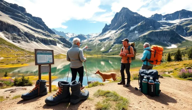
Basic logistics: carry at least one liter of water per hour of hiking as a starting rule (adjust for heat and exertion), wear layered clothing for big temperature swings, and bring a hat, sunscreen, and sturdy closed-toe shoes. Park maps and the visitor centers list current trail conditions, closures, and recommended routes. Dogs are allowed only in developed areas and on short paved trails—check specific trailhead signage. Cell service is unreliable in many parts of the park, so download maps or bring a printed map and leave a trip plan with someone if you’ll be on longer or more remote routes.
Best Short Hikes (1–2 Miles) — Perfect For Families And Photo Stops
These short routes show classic desert scenery with low effort. They fit families, mixed-ability groups, and quick photo stops. The best hikes in Joshua Tree on this list deliver big views in small packages and are ideal when you have limited time or want to acclimate before a longer route.
Hidden Valley Nature Trail — Boulders, Flora, And Easy Loop
Hidden Valley Nature Trail is a roughly 1-mile interpretive loop that weaves through a sheltered valley surrounded by massive boulders. It’s an excellent introduction to the park’s geology and plant communities—look for Joshua trees, yucca, and creosote. The terrain is mostly packed dirt with short, well-marked sections for light scrambling on smooth rock. It’s popular for sunrise and late afternoon photography when shadows emphasize rock textures. Parking is at the Hidden Valley lot; arrive early on busy days to secure a space.
Barker Dam Nature Trail — History, Water, And Wildlife Viewing
Barker Dam is another accessible loop near rock formations and a small historic reservoir basin. The trail includes interpretive signs about the area’s ranching and mining past, and during wetter seasons the dam can hold water that attracts birds and wildlife. The route is generally flat with a few rock steps and stretches of sandy footing. This trail is family-friendly and offers good birding and plant identification opportunities in spring.
Cap Rock and Short Photo Stops
Cap Rock is a short, easy walk from the parking area and is popular for quick photos, sunrise shots, and observing the park’s signature tree shapes and rock silhouettes. It’s paved in places and very short, making it suitable for visitors who want a brief, low-effort desert experience without committing to a longer route. Nearby pullouts and interpretive signs make it a good educational stop for children.
Best Moderate And Long Hikes (3–8 Miles) — Views, Peaks, And Desert History
Moderate and long hikes reward effort with panoramic views, ridge lines, and quieter backcountry sections. The best hikes in Joshua Tree in this range combine elevation gain with open scenery and historical features. These routes require planning: extra water, sun protection, and attention to loose rock and route-finding on some sections.
Ryan Mountain and Viewpoint Climbs
Ryan Mountain is one of the most popular climbs for those seeking a higher vantage point. The trail climbs steadily, offering sweeping views of the park’s rock gardens and valleys. Expect rocky switchbacks and some exposed sections where wind can be a factor—bring layers. The summit provides one of the clearest panoramic views, rewarding the steady ascent with good photo opportunities and a clear sense of the park’s scale.
Lost Horse Mine and Historical Routes
Trails that pass former mining sites, like those to the Lost Horse area, combine natural scenery with a chance to see historic remnants. Routes in this category often traverse open desert, occasional washes, and ridgelines with interpretive signs about the park’s mining era. Trail surfaces vary from packed dirt to rocky sections, and some routes include exposed switchbacks. Plan for extra time to explore ruins and read interpretive panels if you’re interested in the human history of the park.
Longer Backcountry Options and Extended Day Hikes
For hikers comfortable with long out-and-back walks, several routes link quieter parts of the park and cross varied terrain—rock fields, creosote flats, and occasional juniper stands. These longer hikes can offer solitude and wildlife viewing but require navigation skills, more water than shorter routes, and contingency plans. Consider bringing a topographic map, compass or GPS, and emergency supplies if you’ll be off the main corridors for several hours.
Planning, Safety, And Best Times To Hike Joshua Tree
Hikers should plan by checking weather, trail conditions, and park alerts. The best hikes in Joshua Tree become safer with a few basic steps and sensible preparation. Seasonal timing matters: spring brings wildflowers and milder temps, fall offers long comfortable days, summer can be dangerously hot for exposed hikes, and winter nights are cold with potential frost at higher elevations.
Practical safety checklist:
- Water: carry significantly more than you think you’ll need; desert heat and sun quickly increase fluid needs.
- Sun protection: hat, sunscreen, sunglasses, and breathable long sleeves help prevent sunburn and heat stress.
- Footwear: sturdy, closed-toe shoes with good traction for rocky and uneven ground.
- Navigation: a downloaded/offline map or printed map and compass; do not rely solely on cell phones for navigation.
- Timing: start early in hot months and plan to finish before the hottest part of the day; for sunset hikes, bring a headlamp and know your exit route.
- Communication: leave a trip plan with someone, including start time, route, and expected return; ranger stations can provide up-to-date safety info.
- Wildlife and plants: observe wildlife from a distance, do not feed animals, and avoid touching plants—some have sharp spines or fragile ecosystems.
Additional tips for a better visit:
- Arrive early or choose less popular trailheads to avoid crowded parking and to enjoy softer light for photography.
- Bring snacks high in electrolytes and calories for longer routes; energy bars and salted snacks help replace salts lost through sweat.
- If you plan to scramble on rocks, check conditions and practice low-risk moves; many popular boulder areas are suitable for short, casual scrambling but can be hazardous when wet or during high winds.
- Respect park rules about drones, fires, and camping—obey posted signs and camp only in designated areas when allowed.
Ranger stations and visitor centers offer maps, trail condition updates, and safety briefings during staffed hours. Following these guidelines will help you enjoy the best hikes in Joshua Tree while staying safe and preserving the park for future visitors.